News dated
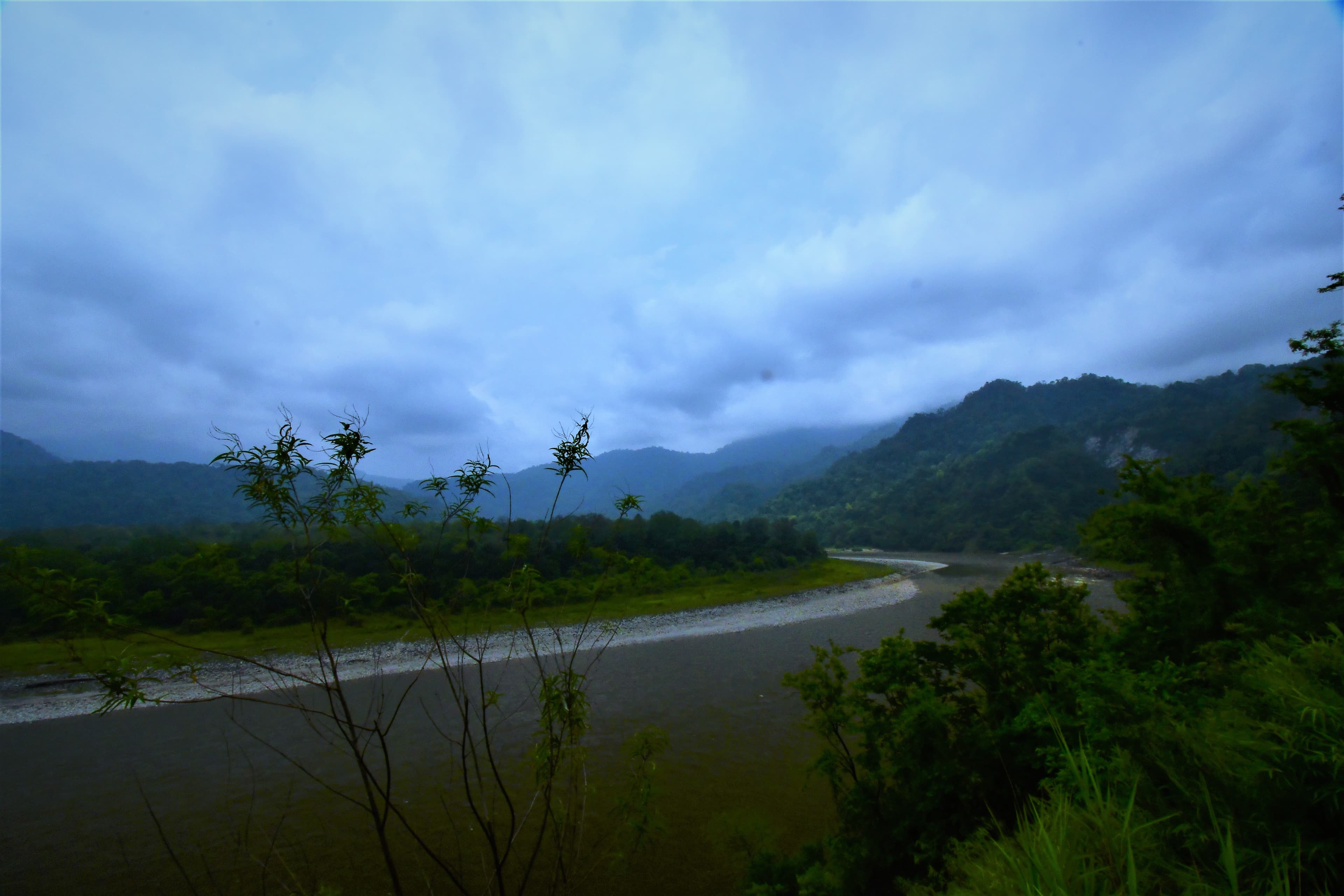
On October 8, UCL reported five days of training for ten staff from Bhutan’s Ministry of Infrastructure and Transport. The group tested flood-risk maps and three-dimensional urban models, applying the tools to a neighbourhood in Thimphu. [1]
The work is part of ECRUL, a GEF- and UNDP-supported project for Thimphu and Paro. Its plans include urban adaptation, water management and warning systems. These remain programme objectives: completed training does not yet demonstrate lower flood losses on the ground. [2]
The bright side
Prevention gains practical skills, giving urban planners a chance to work through risks before an emergency. [1][2]
One idea, in simple words
Ten staff from Bhutan completed a five-day course at UCL in London. They used digital maps and city models to study flooding. A risk map shows where problems might happen. The group tried the tools on a neighbourhood in Thimphu. The news, published on October 8, describes training that has already taken place. [1]
The wider project also covers Paro and plans work on water and warning systems. Imagine, as an example from the editors, drawing a street and marking where a large puddle forms. Your drawing helps explain the problem, but it does not repair the street. Studying risks is a useful step in the same way. Decisions, practical work and checks are still needed to find out whether safety improves. [2]
A little discovery to keep
What did you discover?
Straight from the source.
- Building Capacity for Climate-Resilient Cities in Bhutan University College London · 8 Oct 2026
- Enhancing the Climate Resilience of Urban Landscapes and Communities in the Thimphu-Paro region of Bhutan (ECRUL) UNDP · No publication date provided
Original reporting summaries prepared with AI assistance and accessible sources. Our editorial method.



.jpg)