News dated
Open Foris announced GeoID’s recognition as a digital public good on 6 November. The Digital Public Goods Alliance registry confirms verified status from 4 November and lists FAO as the software’s owner. The system assigns consistent identifiers to places so that the same plot can be recognised across different services and organisations. [1][2]
Its documentation describes free, open software for sharing a plot’s identity without exchanging raw GPS coordinates every time. It can connect field data collection with deforestation risk analysis. The recognition assesses the software and the components listed in the registry: it does not certify every identified plot as deforestation-free or replace environmental checks. [3][2]
The bright side
A shared, reusable reference can make it easier to connect land information across different systems. [3][2]
One idea, in simple words
GeoID is software developed by FAO, the United Nations organisation concerned with food and agriculture. It helps identify a plot of land using a code. On 6 November, Open Foris announced its recognition as a digital public good: the registry shows verified status from 4 November. Its software is open, so the code can be inspected and reused under its licences. [1][2]
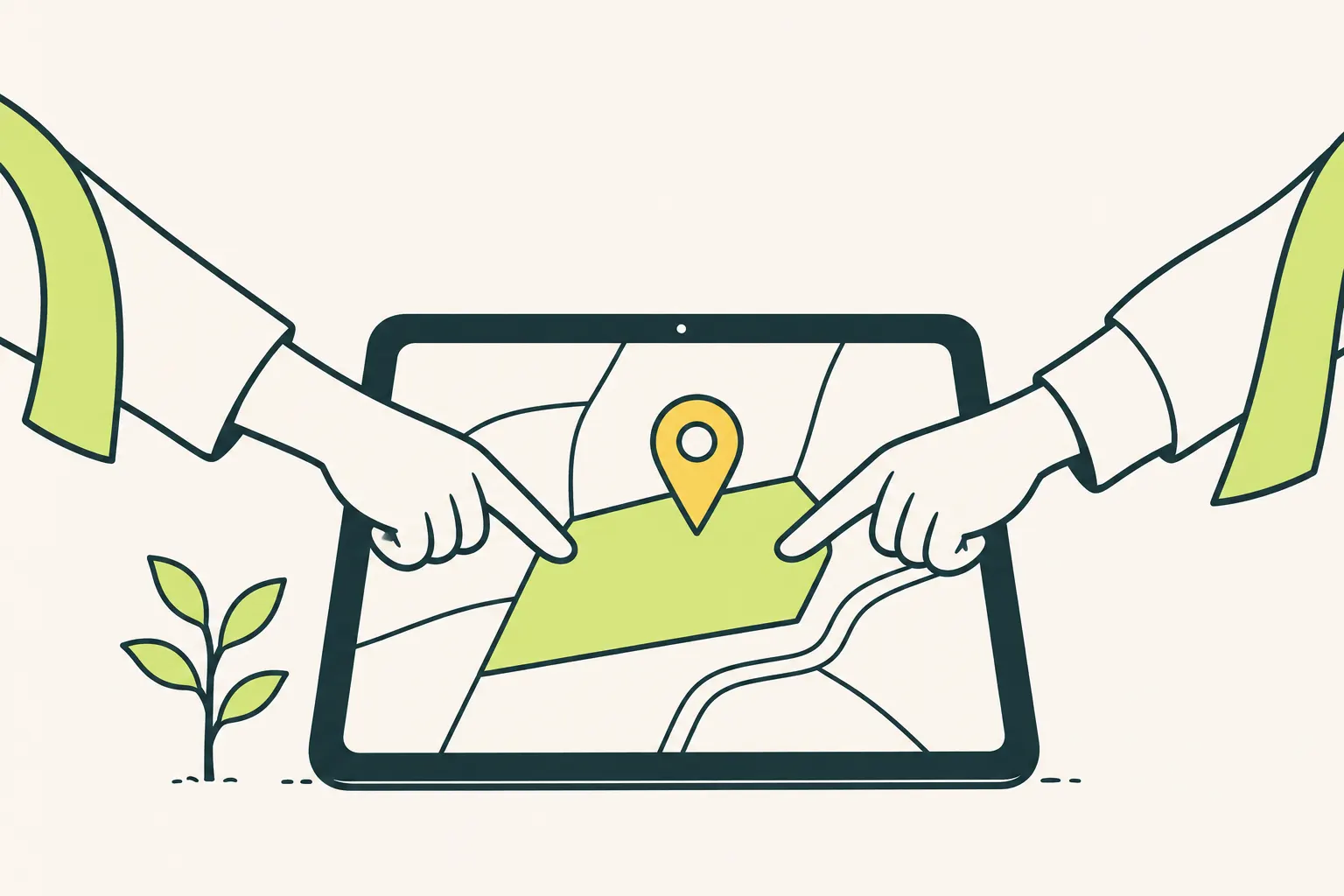
Imagine two offices discussing the same field but using different records: a common identifier can help them connect information. This is an example of the problem involved. GeoID lets them exchange a place’s identity without sending raw GPS coordinates every time. Recognition concerns the software; it does not prove that the field has never been deforested. That requires separate environmental checks. [3][2]
A little discovery to keep
What did you discover?
Straight from the source.
- Open Foris GeoID certified as a Digital Public Good Open Foris / FAO · 6 Nov 2026
- GeoID — DPG Profile Digital Public Goods Alliance · No publication date provided
- GeoID Open Foris / FAO · No publication date provided
Original reporting summaries prepared with AI assistance and accessible sources. Our editorial method.