News dated
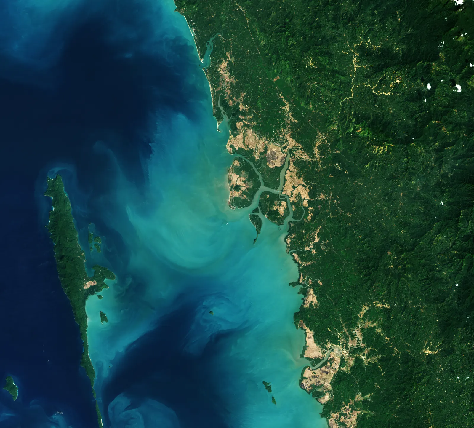
On 13 November, NASA Earth Observatory published a satellite comparison of the Palaw area in Myanmar’s Myeik District. Landsat 5 captured the first image on 14 February 2010; Landsat 9 captured the second on 2 February 2026. NASA describes mangrove expansion along several coastal stretches and regrowth in abandoned rice fields south of Kyauktaung village. [1]
The image dates differ from the publication date. This comparison records a local transformation: on its own, it cannot measure the global balance of mangrove cover or attribute growth to a single intervention. NASA also notes that deforestation remains a problem in Myanmar. [1]
The bright side
Public images make it possible to observe returning coastal vegetation and compare it with the earlier landscape. [1]
One idea, in simple words
Two images from space show the same coastal area of Myanmar in different years. The first was taken on 14 February 2010; the second on 2 February 2026. NASA published them together on 13 November. Around Palaw, the agency describes mangroves reclaiming space, including abandoned rice fields. Mangroves are trees and shrubs found in coastal environments. Imagine comparing two photographs of the same garden, one from many years ago and one from today: that is an example of how a change can be seen. A pair of images cannot explain every cause or describe the whole planet, however. This local recovery does not mean that deforestation has ended. [1]
A little discovery to keep
What did you discover?
Straight from the source.
- A Global Rebound for Mangroves NASA Earth Observatory · 13 Nov 2026
Original reporting summaries prepared with AI assistance and accessible sources. Our editorial method.