News dated
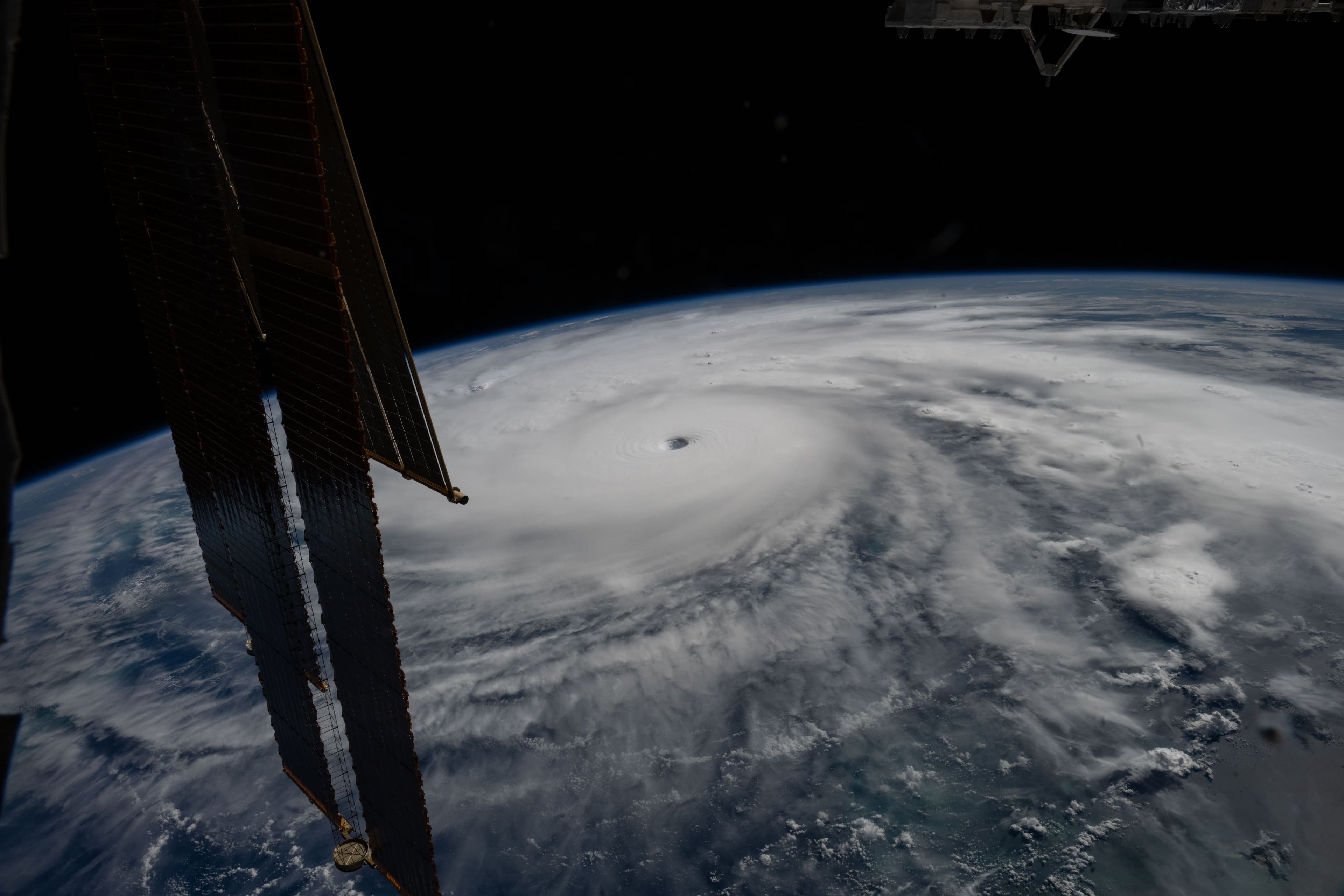
NASA reports on 9 September that Sentinel-6B and Sentinel-6 Michael Freilich measure sea surface height, flying 30 seconds apart. [1]
Sentinel-6B began delivering low-latency data on 15 July. Integrating them into weather models still takes time. [1]
The bright side
These measurements help estimate the ocean heat that fuels hurricanes. [1]
Straight from the source.
- How 2 US, European Satellites Are Studying Hurricanes During El Niño NASA — Jet Propulsion Laboratory · 9 Sept 2026
Original reporting summaries prepared with AI assistance and accessible sources. Our editorial method.